
Indoor Cycling Apps That Support GPX Routes
Compare indoor cycling apps for GPX route riding, gradient simulation and real route workouts, including the difference between GPS routes and filmed roads.
Published
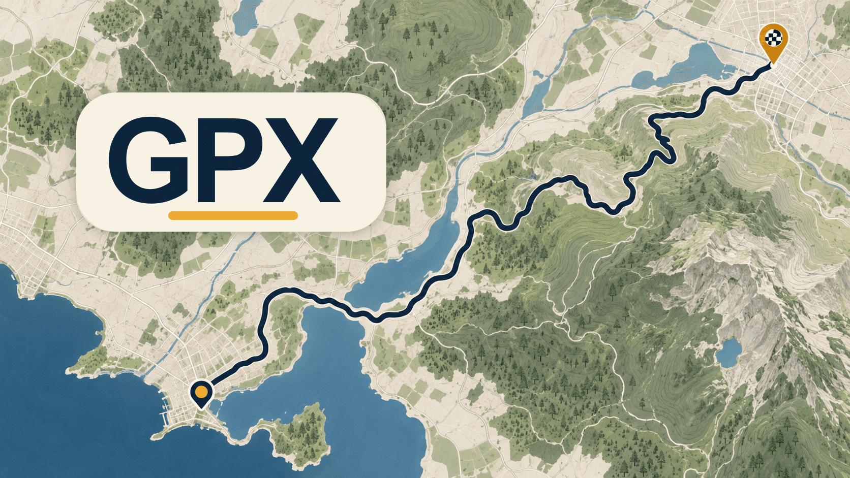
GPX is a route file, not a video. It normally contains location and elevation points. An indoor cycling app can turn those points into a route profile, show a map and change trainer resistance as the gradient changes. It does not recreate the road surface, scenery or camera movement unless the app also has video.
The direct answer
| Route experience | Best app type | What you get | What you do not get |
|---|---|---|---|
| Ride a route you already have | GPX route app | Map, elevation and trainer resistance | Real road video |
| See filmed roads | Video route app | Camera footage and road context | Freedom to import every route |
| Ride a designed world | Virtual-world app | Events, avatars and social riding | Your exact GPX route in every case |
| Follow intervals on a route | Workout and route app | Targets plus route context | Deep adaptive coaching by default |
- Route experience
- Ride a route you already have
- Best app type
- GPX route app
- What you get
- Map, elevation and trainer resistance
- What you do not get
- Real road video
- Route experience
- See filmed roads
- Best app type
- Video route app
- What you get
- Camera footage and road context
- What you do not get
- Freedom to import every route
- Route experience
- Ride a designed world
- Best app type
- Virtual-world app
- What you get
- Events, avatars and social riding
- What you do not get
- Your exact GPX route in every case
- Route experience
- Follow intervals on a route
- Best app type
- Workout and route app
- What you get
- Targets plus route context
- What you do not get
- Deep adaptive coaching by default
What to check before importing
Confirm that the app accepts GPX, that the file includes enough elevation data, and that the route is legal to use. A file can contain a line on a map without producing a useful gradient experience. Check the route dashboard before starting and review the steepest sections.
MINI WATT’s routes page describes GPX uploads, community route creation, gradient-based trainer resistance, route dashboards and segment leaderboards. That makes it useful for riders who want their own route or a local climb without committing to a virtual world. The current download page lists Bluetooth FTMS smart trainer support on macOS and Windows.
GPX simulation versus filmed roads
GPX simulation is usually lighter on the computer and more flexible about route choice. It can be a good match for a familiar sportive, a local climb or a route you want to repeat. Filmed routes are more immersive and can make a long endurance ride easier to follow, but the library and route format are controlled by the provider.
ROUVY is the clearer category for riders who want real-world video routes. MINI WATT is the clearer category for riders who want structured workouts, GPX files and a smaller desktop view. Neither is universally better.
Sharing and route ownership
Use GPX files you created or are allowed to use. Keep the route name, source and any permission context when sharing. A public route library should make it clear whether a route was reviewed, imported or created by the community.
Action plan: choose a route app
- 1
Decide whether you need your own GPX files or filmed roads.
- 2
Test one short route with known elevation changes.
- 3
Check trainer response on a climb and a descent.
- 4
Confirm route ownership, platform support and export behavior before paying.
Common mistakes
Treating GPX as a video format.
Importing a route without checking elevation quality.
Assuming every app controls trainer gradient in the same way.
Sharing a route file without checking usage rights.
Choosing a route app when your real need is structured ERG training.
FAQ
What is a GPX route?
A GPX file is a GPS exchange file that can contain route points, tracks and elevation data.
Can MINI WATT import GPX routes?
Yes. MINI WATT’s routes page describes GPX route uploads and route riding with gradient-based trainer resistance.
Does a GPX route include video?
No. GPX is route data. Video requires a separate filmed-route library.
Does GPX route riding change trainer resistance?
It can, when the app maps elevation changes to trainer-controlled gradient resistance and your hardware supports it.
Is ROUVY a GPX app?
ROUVY is primarily known for real-world video route riding. Check its current import and route options before relying on a specific workflow.
Are GPX routes good for training?
They can add route context to endurance, climbing and benchmark rides. ERG workouts remain clearer for precise interval targets.
Can I use any GPX file?
Use files you created or have permission to use, and inspect the route before riding it.
Do I need a smart trainer for GPX routes?
You can view a route without one, but trainer-controlled gradient simulation requires compatible smart-trainer hardware.
Can I share a GPX route?
Yes, if you have the right to share it and the platform supports community route creation or uploads.
What should I test first?
Test one route with a known climb, a descent and a pause. Check the map, elevation and trainer response together.
Sources
- MINI WATT routes page, accessed 2026-09-29
- MINI WATT download page, accessed 2026-09-29
- ROUVY how it works, accessed 2026-09-29
Related Articles
Best Indoor Cycling Apps for Structured Workouts
A practical comparison for riders who mostly care about power-based workouts, ERG mode, real routes, and simple setup.
A Low-Cost Zwift Alternative for Structured Workouts Without a Virtual World
A dated, source-backed app-type guide for budget riders that compares MINI WATT's focused workout fit with free virtual-world riding.
Best Zwift Alternatives for Structured Training, Routes and Virtual Riding
The main category buyer guide for choosing virtual worlds, filmed routes, coaching, broad workout libraries, or focused workouts and GPX routes.